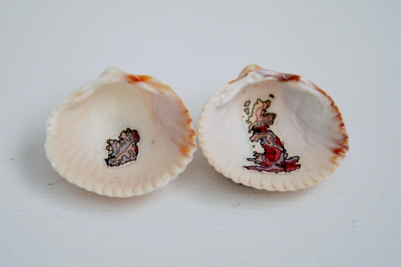
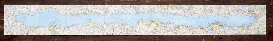
IRELAND MAP
On my first fellowship at the Ballinglen Arts Foundation in County Mayo in Ireland, I began working with the map of Ireland, the story of the land and my personal memories of experiences there.
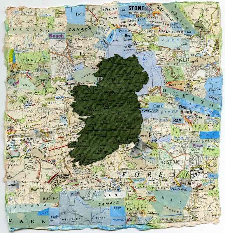
This has resulted in a number of maps of Ireland ‘constructed’ using ordnance survey maps from the rest of the UK. The experience of looking more closely at naming of land on local maps brought me to the work of local historians Uinsionn Mac Graith and Treasa Ni Ghearraigh who have painstakingly retrieved and recorded the gaelic names for Dún Chaocháin within the Ghaeltacht (Irish speaking area).
Each place name has a meaning, which is largely lost in translation by the widespread renaming of places in the ordnance survey mapping of Ireland by the UK in 1846, the subject of Brian Friel’s celebrated play ‘Translations’. Ireland’s past is chiefly remembered in the Gaelic names of its farms, mountains, fields and archaeological features.
“ To the native Irish, the literal representation of the country was less important than its poetic dimension”
(R.F Foster in Modern Ireland 1600-1972).